vrypan picks interesting stuff I find on the net -my shared items.
Jonas' Tumblr: Apple iPhoto maps use OpenStreetMap and public domain data
posted on 08/03/2012 11:53 #openstreetmap
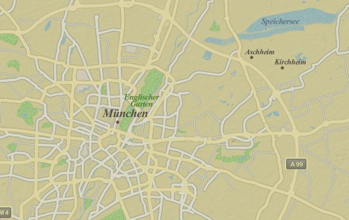
http://jokru.tumblr.com/post/18929681613 →Based on various Twitter conversations and my own comparisons it seems like Apple is using OpenStreetMap data to render the map tiles outside the US. The map tiles for the US seem to be based on different, probably public domain data sets.
powered by 